At a glance
Tamworth
Consented
New Office Facilities
Site and context
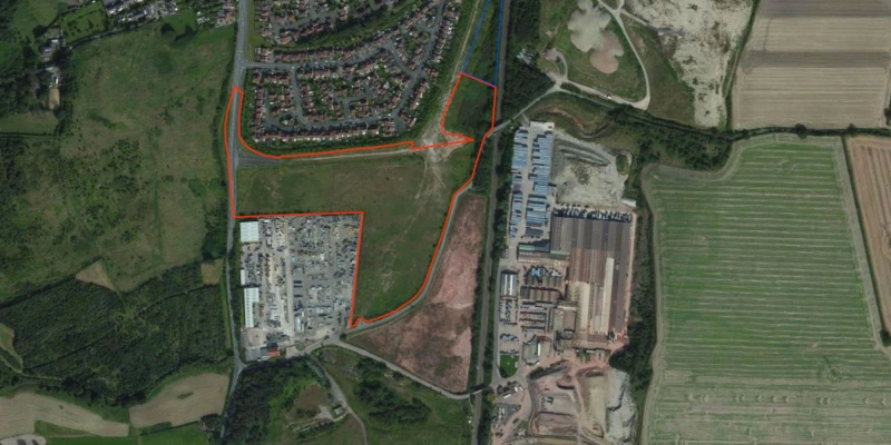
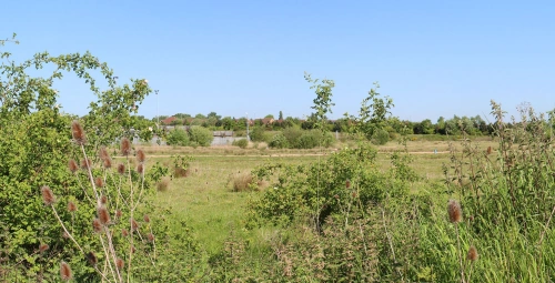
The application site is situated in the village of Dosthill, part of the wider settlement of Tamworth. The site is situated on the southern settlement edge of Dosthill and comprises 7.23 hectares (18 acres) of brownfield land. The site is bounded on two sides by the A51 Tamworth Road and Rush Lane. The north-eastern boundary is bound by the Birmingham-Derby train line and the southwestern boundary abuts up to a former landfill site and mineral extraction site. Dosthill Conservation Area is located Northwest of the site off Church Road where St Paul's Church is situated. Formerly, the site was in use as a landfill and mineral extraction site, with no formal use since these activities ended in the 1990s.
Proposals
The scheme at Rush Lane seeks outline planning permission for a scheme comprising up to 23,000 sqms of employment led use, with flexible uses including Class E, Eg, B2 and/ or B8. The site is in a sustainable location and sits approximately 1.7km from Tamworth Town Centre, benefiting from close proximity to Wilnecote Rail Station. The proposed use is in keeping with the character and appearance of the neighbouring industrial uses to the south of the site. The proposed development represents significant investment into the area and an opportunity to bring back to use an under-utilised site, as well as delivering significant economic benefits and job opportunities.
Current status
The planning application for the scheme was submitted in May 2023. Since then, there has been a resolution to grant planning permission (with matters reserved) by North Warwickshire Borough Council in September 2024.

